![]() YERKES
YERKES![]()
SURVEYING CONSULTANTS
|
Hydrographic Survey
|
||
|
||
|
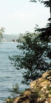
Hydrography is the science which deals with the measurement and description of the physical features of bodies of water and their littoral land areas. Special emphasis is usually placed on the elements that affect safe navigation and the publication of such information in a suitable form for use in navigation.
For additional information, visit
|
||
|
Yerkes Surveying Consultants, now a part of DuBois & King, Inc., may conduct your Hydrographic Survey to support a variety of activities: Waterfront Construction, nautical charting, port, harbor and waterfront maintenance (dredging), Waterfront engineering (beach erosion and replenishment studies), New Hampshire coastal and waterfront zone management. The one data type common to all hydrographic surveys is water depth. Of additional concern to most surveys is the nature and location of bottom material (i.e. sand, mud, rock) due to its implications for anchoring, dredging, structure construction, pipeline and cable routing and fisheries habitat.
|
Copyright 2023 ALL RIGHTS RESERVED - DUBOIS & KING, INC.